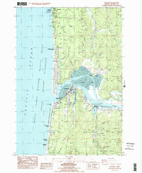
1984 Map of Waldport
USGS Topo · Published 1984About this map
The coastal settlement of Waldport stands as the central hub of this mid-1980s landscape, situated where the Alsea River meets the expansive Alsea Bay. The geography is defined by complex tidal waters, including Lint Slough and McKinney Slough, which frame the town's southern and eastern boundaries. This period of coastal development is reflected in the numerous public lands and waysides established along the Highway 101 corridor, such as Governor Patterson Mem State Park and Seal Rock State Wayside.
Find a feature on this map
61 named features on this map. Tap any name to fly to it.
Don’t see what you’re looking for? This feature index may not catch every label — zoom into the map to look around manually.
Map Details
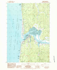
Editions of this 1984 Waldport Map
2 editions found
Other maps of this area

1922 · Waldport
USGS Topo · 1:62,500

1942 · Waldport
USGS Topo · 1:62,500

1942 · Yaquina
USGS Topo · 1:62,500

1942 · Tidewater
USGS Topo · 1:62,500

1942 · Toledo
USGS Topo · 1:62,500

1953 · Salem
USGS Topo · 1:250,000

1954 · Salem
USGS Topo · 1:250,000

1956 · Tidewater
USGS Topo · 1:62,500

1956 · Waldport
USGS Topo · 1:62,500

1957 · Yaquina
USGS Topo · 1:62,500