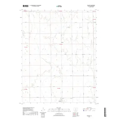
2018 Map of Waldron
USGS Topo · Published 2018About this map
Waldron sits at the southern edge of this Harper County landscape, situated near the Oklahoma border in a region defined by agricultural sections and prairie drainage systems. The settlement is anchored by Main St and Edwards St, with the nearby Waldron Cem serving as a local genealogical landmark. To the north, the small community of Ruella is positioned along the section lines, surrounded by the winding courses of Sandy Cr and Plum Cr. The map reveals a high density of small family or community burial grounds, including Goss Cem, Bonham Cem, and Ferguson Cem, which are scattered throughout the rural townships. These features, along with the strict grid of rural roads like SW 60 Rd and SW 100 Rd, illustrate the enduring Public Land Survey System layout and the decentralized nature of early 21st-century rural Kansas life.
Find a feature on this map
30 named features on this map. Tap any name to fly to it.
Don’t see what you’re looking for? This feature index may not catch every label — zoom into the map to look around manually.
Map Details
Editions of this 2018 Waldron Map
This is the sole edition of this map. No revisions or reprints were ever made.
Other maps of this area

1889 · Anthony
USGS Topo · 1:125,000

1891 · Anthony
USGS Topo · 1:125,000

1955 · Woodward
USGS Topo · 1:250,000

1955 · Pratt
USGS Topo · 1:250,000

1958 · Woodward
USGS Topo · 1:250,000

1959 · Pratt
USGS Topo · 1:250,000

1969 · Amorita
USGS Topo · 1:24,000
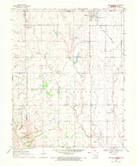
1969 · Manchester
USGS Topo · 1:24,000
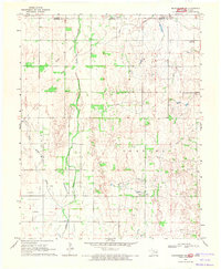
1969 · Manchester NW
USGS Topo · 1:24,000

1972 · Attica
USGS Topo · 1:24,000