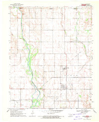
1969 Map of Amorita
USGS Topo · Published 1971About this map
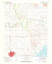
The Medicine Lodge River meanders through the heart of this Alfalfa County landscape, just south of the Kansas Oklahoma state line. During the late 1960s, the agricultural communities of Amorita and Byron anchored the local economy, while the presence of an Old Railroad Grade and several gravel pits indicates the area's industrial infrastructure. The map reveals a transition from traditional farming to energy extraction, with a defined Gas Field and multiple Oil Well and Gas Well locations appearing alongside the river valley.
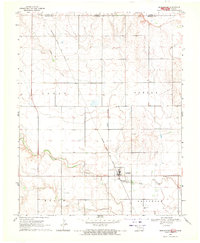
Find a feature on this map
23 named features on this map. Tap any name to fly to it.
Don’t see what you’re looking for? This feature index may not catch every label — zoom into the map to look around manually.
Map Details
Editions of this 1969 Amorita Map
This is the sole edition of this map. No revisions or reprints were ever made.
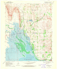
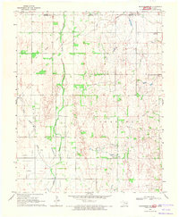
Other maps of this area

1889 · Anthony
USGS Topo · 1:125,000

1891 · Anthony
USGS Topo · 1:125,000

1955 · Woodward
USGS Topo · 1:250,000

1955 · Pratt
USGS Topo · 1:250,000

1958 · Woodward
USGS Topo · 1:250,000

1959 · Pratt
USGS Topo · 1:250,000
1969 · Burlington
USGS Topo · 1:24,000
1969 · Manchester SW
USGS Topo · 1:24,000
1969 · Manchester NW
USGS Topo · 1:24,000
1969 · Cherokee North
USGS Topo · 1:24,000