
1969 Map of Cherokee North
USGS Topo · Published 1971About this map
Cherokee serves as the primary hub in this Alfalfa County landscape, where the confluence of several watercourses defines the terrain. The Medicine Lodge River and Driftwood Creek snake through the northern section, eventually joining the Salt Fork Arkansas River. The southeast corner is dominated by the Salt Plains National Wildlife Refuge and the Great Salt Plains Reservoir, highlighting the area's ecological importance.
Find a feature on this map
28 named features on this map. Tap any name to fly to it.
Don’t see what you’re looking for? This feature index may not catch every label — zoom into the map to look around manually.
Map Details
Editions of this 1969 Cherokee North Map
This is the sole edition of this map. No revisions or reprints were ever made.
Other maps of this area

1955 · Woodward
USGS Topo · 1:250,000

1958 · Woodward
USGS Topo · 1:250,000

1969 · Jet
USGS Topo · 1:24,000

1969 · Lambert
USGS Topo · 1:24,000

1969 · Amorita
USGS Topo · 1:24,000

1969 · Burlington
USGS Topo · 1:24,000

1969 · Manchester SW
USGS Topo · 1:24,000
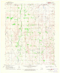
1969 · Manchester NW
USGS Topo · 1:24,000

1969 · Ingersoll
USGS Topo · 1:24,000
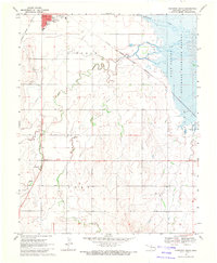
1969 · Cherokee South
USGS Topo · 1:24,000