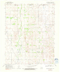
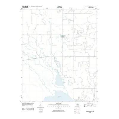
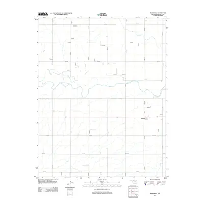
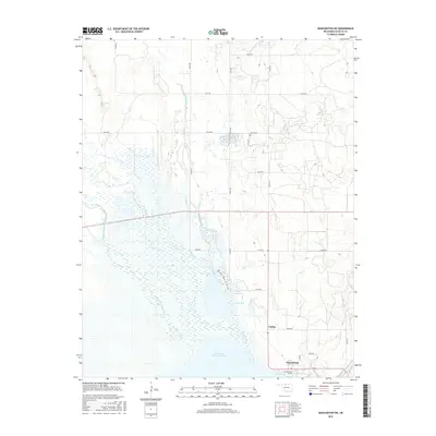
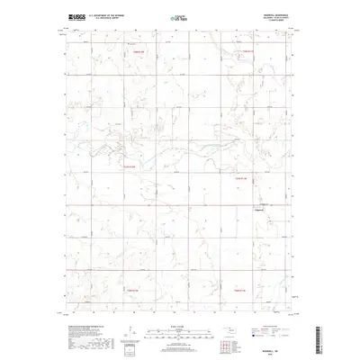
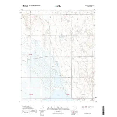
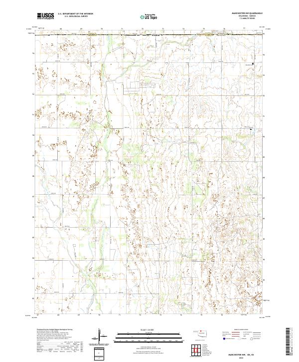
1969 Map of Manchester SW
USGS Topo · Published 1971About this map
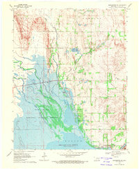
The Salt Fork Arkansas River carves through this northern Oklahoma landscape, feeding into the expansive Great Salt Plains Reservoir. This 1969 survey captures a unique ecological and industrial intersection within the Great Salt Plains National Wildlife Refuge, where specialized terrain features like the Salt Plains dominate the western half of the quadrangle. The map details the early management of this environment through features like the Fish Hatchery and numerous water control points such as Upper Dog Pond.
Find a feature on this map
27 named features on this map. Tap any name to fly to it.
Don’t see what you’re looking for? This feature index may not catch every label — zoom into the map to look around manually.
Map Details
Editions of this 1969 Manchester SW Map
This is the sole edition of this map. No revisions or reprints were ever made.
Historical Maps of Nescatunga Through Time
30 maps found
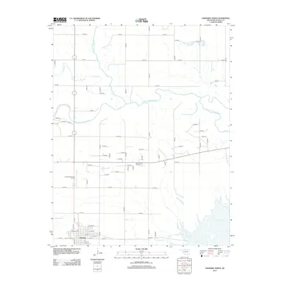
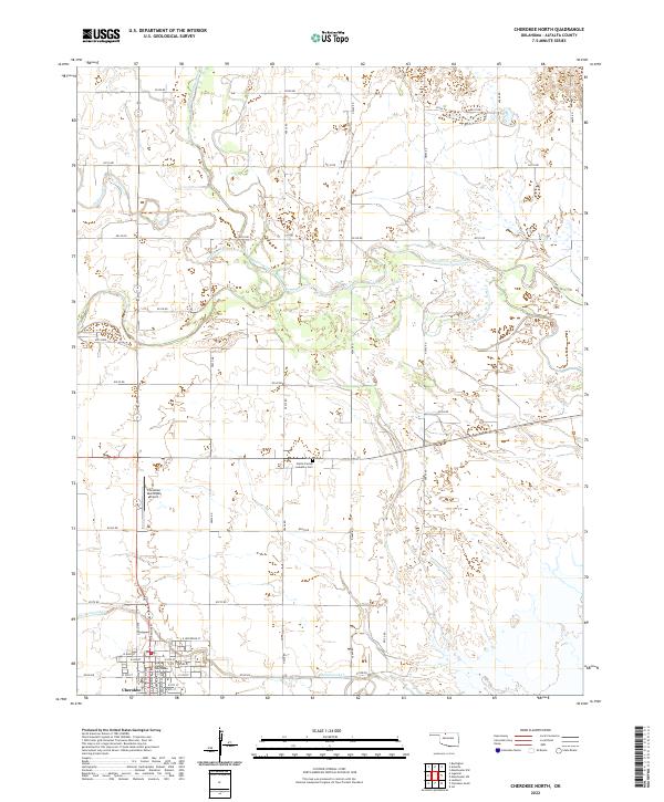
1969 Cherokee North
Alfalfa County, OK
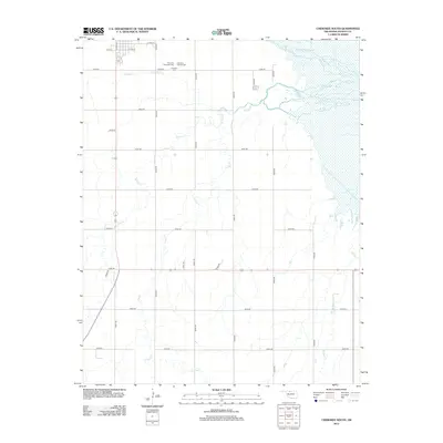
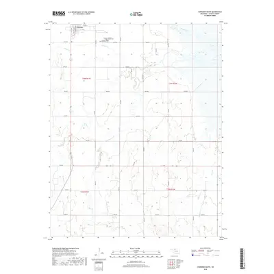
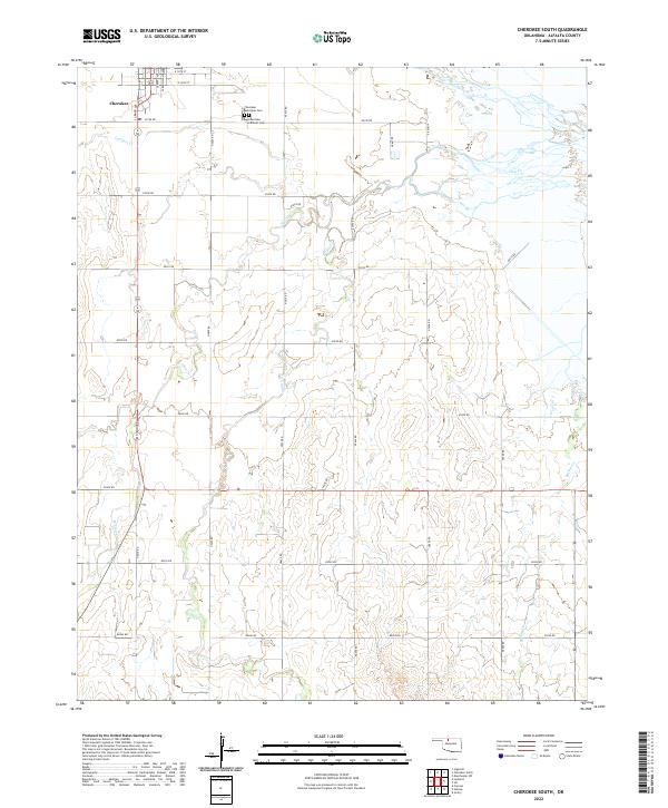
1969 Cherokee South
Alfalfa County, OK
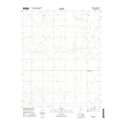
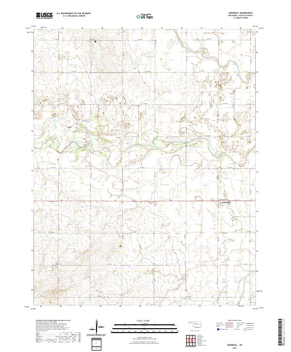
1969 Ingersoll
Alfalfa County, OK
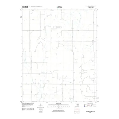
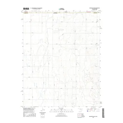
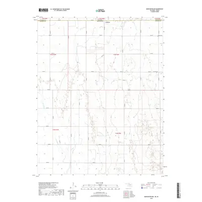
1969 Manchester NW
Alfalfa County, OK
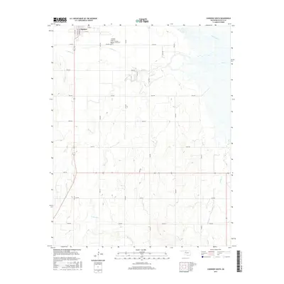
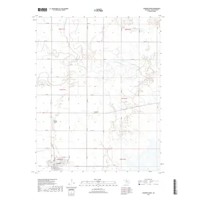
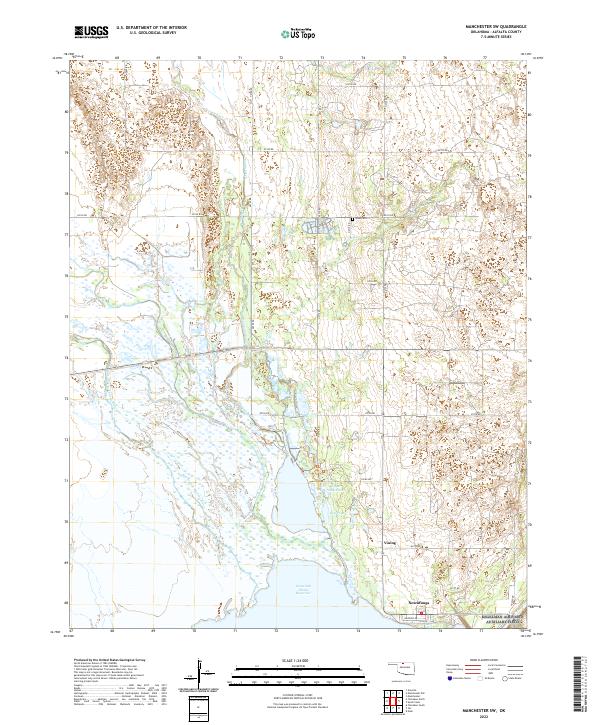
1969 Manchester SW
Alfalfa County, OK
2009 Cherokee North
Alfalfa County, OK
2009 Cherokee South
Alfalfa County, OK
2009 Ingersoll
Alfalfa County, OK
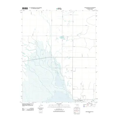
2009 Manchester SW
Alfalfa County, OK
2010 Manchester NW
Alfalfa County, OK
2012 Cherokee North
Alfalfa County, OK
2012 Cherokee South
Alfalfa County, OK
2012 Ingersoll
Alfalfa County, OK
2012 Manchester NW
Alfalfa County, OK
2012 Manchester SW
Alfalfa County, OK
2016 Cherokee North
Alfalfa County, OK
2016 Cherokee South
Alfalfa County, OK
2016 Ingersoll
Alfalfa County, OK
2016 Manchester NW
Alfalfa County, OK
2016 Manchester SW
Alfalfa County, OK
2018 Cherokee North
Alfalfa County, OK
2018 Cherokee South
Alfalfa County, OK
2018 Ingersoll
Alfalfa County, OK
2018 Manchester NW
Alfalfa County, OK
2018 Manchester SW
Alfalfa County, OK
2022 Cherokee North
Alfalfa County, OK
2022 Cherokee South
Alfalfa County, OK
2022 Ingersoll
Alfalfa County, OK
2022 Manchester NW
Alfalfa County, OK
2022 Manchester SW
Alfalfa County, OK