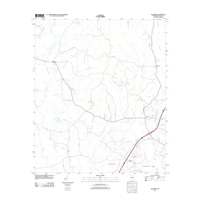
2012 Map of Waldrup
USGS Topo · Published 2012About this map
Oil and gas exploration define the southeastern landscape of this Jasper County quadrangle, where various subterranean deposits are mapped including the West Heidelberg Oil Field, the Middle Hosston Oil Pool, and the Eutaw-Masonite Oil Pool. These energy resources sit alongside long-established rural settlements such as Waldrup and Kelona. The terrain is deeply carved by a network of waterways, most notably Tallahala Cr and Bogue Homo, which dictate the winding paths of the local county roads.
Find a feature on this map
59 named features on this map. Tap any name to fly to it.
Don’t see what you’re looking for? This feature index may not catch every label — zoom into the map to look around manually.
Map Details
Editions of this 2012 Waldrup Map
This is the sole edition of this map. No revisions or reprints were ever made.
Other maps of this area

1953 · Hattiesburg
USGS Topo · 1:250,000

1953 · Meridian
USGS Topo · 1:250,000

1957 · Meridian
USGS Topo · 1:250,000

1957 · Enterprise
USGS Topo · 1:62,500

1958 · Hattiesburg
USGS Topo · 1:250,000

1963 · Waldrup
USGS Topo · 1:24,000

1963 · Heidelberg
USGS Topo · 1:24,000

1964 · Heidelberg SW
USGS Topo · 1:24,000

1964 · Moss
USGS Topo · 1:24,000

1964 · Sandersville
USGS Topo · 1:24,000