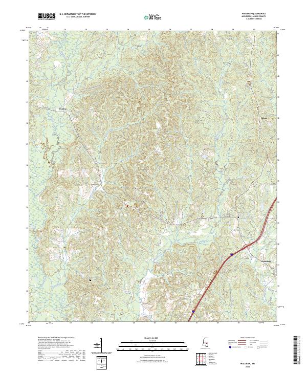
2024 Map of Waldrup
USGS Topo · Published 2024About this map
Tallahala Creek and Bogue Ealiah wind through the timbered landscape of Jasper County, defining the drainage patterns of this rural Mississippi region. The town of Heidelberg anchors the southeastern corner of the map, showing a concentrated grid of streets like Walnut St and Beech St alongside a modern highway corridor. This 2024 USGS survey documents the contemporary arrangement of small settlements such as Waldrup and Kelona, which are connected by a network of county roads including N Pine Ave and Co Rd 31. For genealogists and local historians, the placement of Philadelphia Cem and Pisgah Cem provides essential landmarks for tracing family heritage within the township-and-range divisions. The map also captures the confluence of several watercourses, such as Tallahattah Creek and Horse Branch, which continue to shape the local topography.
Find a feature on this map
47 named features on this map. Tap any name to fly to it.
Don’t see what you’re looking for? This feature index may not catch every label — zoom into the map to look around manually.
Map Details
Editions of this 2024 Waldrup Map
This is the sole edition of this map. No revisions or reprints were ever made.
Other maps of this area

1953 · Hattiesburg
USGS Topo · 1:250,000

1953 · Meridian
USGS Topo · 1:250,000

1957 · Meridian
USGS Topo · 1:250,000

1957 · Enterprise
USGS Topo · 1:62,500

1958 · Hattiesburg
USGS Topo · 1:250,000

1963 · Waldrup
USGS Topo · 1:24,000

1963 · Heidelberg
USGS Topo · 1:24,000

1964 · Heidelberg SW
USGS Topo · 1:24,000

1964 · Moss
USGS Topo · 1:24,000

1964 · Sandersville
USGS Topo · 1:24,000