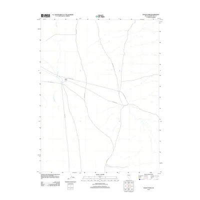
2012 Map of Waldy Pond
USGS Topo · Published 2012About this map
Jakes Valley dominates this high-desert basin in White Pine County, showing a landscape defined by seasonal water and historical travel routes. The presence of Waldy Pond near the center of the quadrangle serves as a primary water feature in an otherwise arid expanse, situated along the northern reach of Circle Wash. The drainage of Illipah Creek cuts through the western portion of the valley, emphasizing the importance of rare water sources for early cattle ranching and modern land management in this part of Nevada.
Find a feature on this map
6 named features on this map. Tap any name to fly to it.
Don’t see what you’re looking for? This feature index may not catch every label — zoom into the map to look around manually.
Map Details
Editions of this 2012 Waldy Pond Map
This is the sole edition of this map. No revisions or reprints were ever made.
Other maps of this area

1949 · Treasure Hill
USGS Topo · 1:62,500

1950 · Treasure Hill
USGS Topo · 1:62,500

1951 · Illipah
USGS Topo · 1:62,500

1956 · Ely
USGS Topo · 1:250,000

1958 · Reipetown
USGS Topo · 1:24,000

1958 · Giroux Wash
USGS Topo · 1:24,000

1959 · Ely
USGS Topo · 1:250,000

1959 · Reipetown
USGS Topo · 1:62,500

1959 · Preston Reservoir
USGS Topo · 1:62,500

1963 · Ely
USGS Topo · 1:250,000