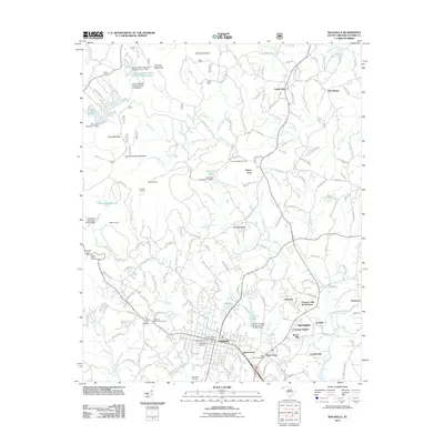
2011 Map of Walhalla
USGS Topo · Published 2011About this map
Stumphouse Mountain and the surrounding Blue Ridge foothills define the rugged northern landscape above Walhalla, where the legacy of nineteenth-century engineering projects is visible in features like the Saddle Tunnel and Middle Tunnel. The town itself is shown in high detail, from the Walhalla Post Office to numerous local burial grounds including Westview Cemetery and the Lutheran Cemetery.
Find a feature on this map
58 named features on this map. Tap any name to fly to it.
Don’t see what you’re looking for? This feature index may not catch every label — zoom into the map to look around manually.
Map Details
Editions of this 2011 Walhalla Map
This is the sole edition of this map. No revisions or reprints were ever made.
Other maps of this area

1886 · Walhalla
USGS Topo · 1:125,000

1888 · Pickens
USGS Topo · 1:125,000

1892 · Walhalla
USGS Topo · 1:125,000

1894 · Pickens
USGS Topo · 1:125,000

1896 · Walhalla
USGS Topo · 1:125,000

1954 · Greenville
USGS Topo · 1:250,000

1958 · Greenville
USGS Topo · 1:250,000

1958 · Seneca
USGS Topo · 1:24,000

1959 · Salem
USGS Topo · 1:24,000
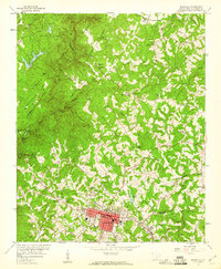
1959 · Walhalla
USGS Topo · 1:24,000