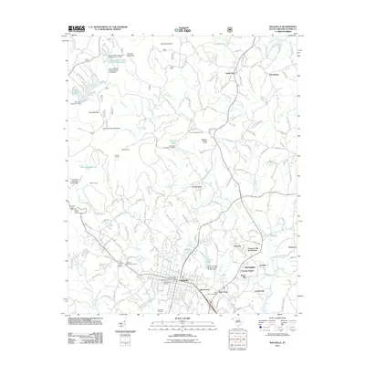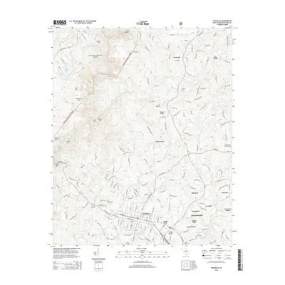
2024 Map of Walhalla
USGS Topo · Published 2024About this map
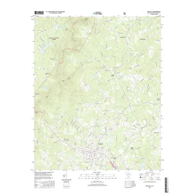
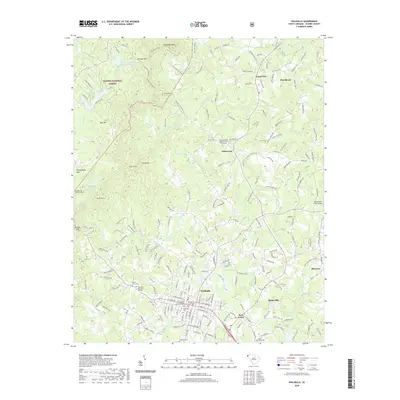
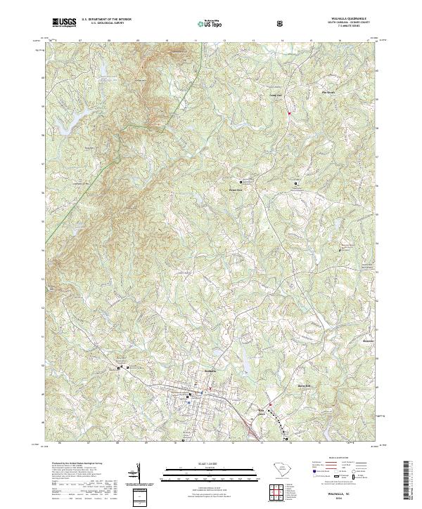
Walhalla serves as the focal point of this Oconee County landscape, where the Blue Ridge foothills meet the established civic life of the Oconee County Courthouse. The town’s history is anchored by its religious and community centers, including Saint Johns Evangelical Lutheran Church and the adjacent Saint Johns Evangelical Lutheran Church Cemetery. Beyond the town limits, the geography is defined by prominent elevations such as Stumphouse Mtn, Ross Mtn, and Tamassee Knob, which shape the drainage of Oconee Creek and Cane Creek.
Find a feature on this map
233 named features on this map. Tap any name to fly to it.
Don’t see what you’re looking for? This feature index may not catch every label — zoom into the map to look around manually.
Map Details
Editions of this 2024 Walhalla Map
This is the sole edition of this map. No revisions or reprints were ever made.
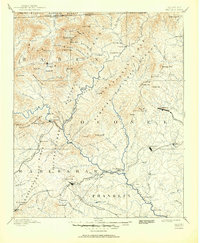
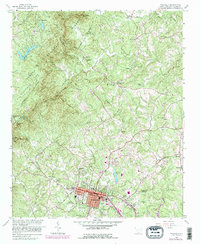
Historical Maps of Walhalla Through Time
9 maps found