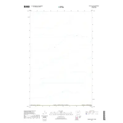
2017 Map of Walhalla OE N
USGS Topo · Published 2017About this map
The Canada / United States of America international boundary defines the southern edge of this 2017 topographic study, marking the threshold between the northern reaches of North Dakota Pembina Co and the Canadian interior. This particular map focuses on the Canadian side of the border, where a complex network of hydrological features and drainage patterns dominates the landscape. The layout of section lines and secondary roads indicates a strictly organized agricultural region where the grid of the plains meets the natural meandering of local waterways. Though the terrain appears relatively level, the detailed contour intervals reveal the subtle drainage basins that characterize this borderland area. The map illustrates a moment in the modern era where transborder geography is defined by these quiet intersections of cartographic precision and rural utility.
Find a feature on this map
3 named features on this map. Tap any name to fly to it.
Don’t see what you’re looking for? This feature index may not catch every label — zoom into the map to look around manually.
Map Details
Editions of this 2017 Walhalla OE N Map
This is the sole edition of this map. No revisions or reprints were ever made.
Other maps of this area

1918 · Walhalla
USGS Topo · 1:62,500

1943 · Walhalla
USGS Topo · 1:62,500

1952 · Thief River Falls
USGS Topo · 1:250,000

1953 · Devils Lake
USGS Topo · 1:250,000

1956 · Thief River Falls
USGS Topo · 1:250,000

1956 · Devils Lake
USGS Topo · 1:250,000

1957 · Thief River Falls
USGS Topo · 1:250,000

1964 · Leroy
USGS Topo · 1:24,000

1964 · Walhalla
USGS Topo · 1:24,000

1967 · Thief River Falls
USGS Topo · 1:250,000