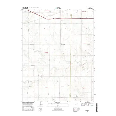
2015 Map of Walker
USGS Topo · Published 2015About this map
Walker is positioned as a central waypoint in this section of the High Plains, where the landscape is defined by the winding drainages of Big Cr and its tributaries. The settlement's grid is anchored by Main St and Walker Ave, just south of the critical transit corridor formed by the Victoria Rd and Old Hwy 40. The topography reveals the intricate erosion patterns of the N Fork Big Cr and Mud Cr, which have shaped the local agricultural boundaries for generations. Genealogists will find significant local history preserved at Saint Anns Cem on the northern edge of town, while further south, Saint Boniface Cem and Winterset Cem mark the burial grounds of early prairie communities. The presence of the Butterfield Trail Rd serves as a reminder of the area's role in western migration routes, cutting across the section lines that otherwise organize the modern Kansas countryside.
Find a feature on this map
45 named features on this map. Tap any name to fly to it.
Don’t see what you’re looking for? This feature index may not catch every label — zoom into the map to look around manually.
Map Details
Editions of this 2015 Walker Map
This is the sole edition of this map. No revisions or reprints were ever made.
Other maps of this area

1896 · Russell
USGS Topo · 1:125,000

1896 · Hays
USGS Topo · 1:125,000

1955 · Great Bend
USGS Topo · 1:250,000

1957 · Great Bend
USGS Topo · 1:250,000

1958 · Great Bend
USGS Topo · 1:250,000

1961 · Catharine
USGS Topo · 1:24,000
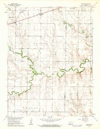
1961 · Walker
USGS Topo · 1:24,000

1961 · Russell SW
USGS Topo · 1:24,000

1961 · Victoria
USGS Topo · 1:24,000

1967 · Russell NW
USGS Topo · 1:24,000