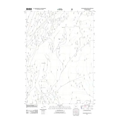
2011 Map of Walker Mountain
USGS Topo · Published 2011About this map
Walker Mountain and the prominent Walker Rim anchor this high-elevation landscape in Klamath County, characterized by a complex network of forest development roads. The 2011 survey reveals an environment where natural features like Marmot Butte and Skookum Butte define the horizon, while smaller hydrology points such as South Walker Spring and Skookum Spring mark specific water sources in the interior. This area is heavily managed by the U.S. Forest Service, evidenced by the extensive naming of routes such as Nat For Dev Rd 9760 and Nat For Dev Rd 94. The presence of the Lower Walker Quarry suggests active or historical resource extraction, and the eastern edge of the quadrangle is defined by the winding course of Jack Creek as it moves through the high country.
Find a feature on this map
18 named features on this map. Tap any name to fly to it.
Don’t see what you’re looking for? This feature index may not catch every label — zoom into the map to look around manually.
Map Details
Editions of this 2011 Walker Mountain Map
This is the sole edition of this map. No revisions or reprints were ever made.
Other maps of this area

1935 · Chemult
USGS Topo · 1:96,000

1941 · Chemult
USGS Topo · 1:125,000

1955 · Crescent
USGS Topo · 1:250,000

1957 · Crescent
USGS Topo · 1:250,000

1958 · Crescent
USGS Topo · 1:250,000
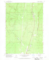
1967 · Chemult
USGS Topo · 1:24,000
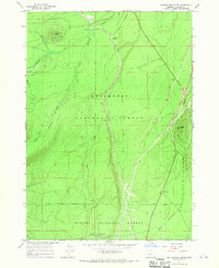
1967 · Muttonchop Butte
USGS Topo · 1:24,000
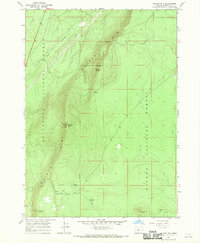
1967 · Walker Mtn
USGS Topo · 1:24,000
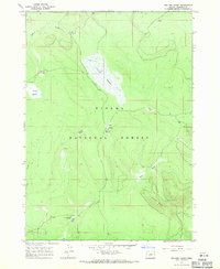
1967 · Sellers Marsh
USGS Topo · 1:24,000
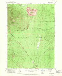
1967 · Odell Butte
USGS Topo · 1:24,000