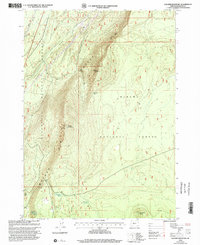
1999 Map of Walker Mountain
USGS Topo · Published 2002About this map
Walker Rim dominates this central Oregon landscape, forming a dramatic geological divide between the Deschutes National Forest to the west and the Winema National Forest to the east. This 1999 revision captures a high-elevation interior where infrastructure is largely defined by resource management and communication, notably at the Microwave Relay Station perched atop Walker Mountain. The terrain is punctuated by significant volcanic features such as Marmot Butte and Skookum Butte, which overlook a network of forest service tracks and primitive trails.
Find a feature on this map
13 named features on this map. Tap any name to fly to it.
Don’t see what you’re looking for? This feature index may not catch every label — zoom into the map to look around manually.
Map Details
Editions of this 1999 Walker Mountain Map
This is the sole edition of this map. No revisions or reprints were ever made.
Other maps of this area

1935 · Chemult
USGS Topo · 1:96,000

1941 · Chemult
USGS Topo · 1:125,000

1955 · Crescent
USGS Topo · 1:250,000

1957 · Crescent
USGS Topo · 1:250,000

1958 · Crescent
USGS Topo · 1:250,000
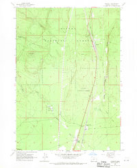
1967 · Chemult
USGS Topo · 1:24,000
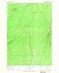
1967 · Muttonchop Butte
USGS Topo · 1:24,000
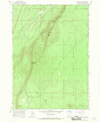
1967 · Walker Mtn
USGS Topo · 1:24,000
1967 · Sellers Marsh
USGS Topo · 1:24,000
1967 · Odell Butte
USGS Topo · 1:24,000