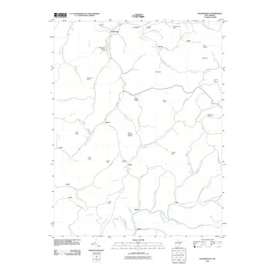
2010 Map of Walkersville
USGS Topo · Published 2010About this map
The Walkersville Covered Bridge spans the Right Fork West Fork River in this rural landscape near the intersection of Lewis, Upshur, and Webster counties. The terrain is characterized by numerous named peaks like Handkerchief Knob and the curiously named Devils Darning Needle, overlooking a complex network of waterways including the West Fork River and the Little Kanawha River. Small settlements such as Ireland, Duffy, and Wildcat are connected by winding backroads like Buttermilk Rd and Hacker Camp Run. For genealogists, the map preserves the locations of family and community resting places, including Long Point Cemetery, Pickens Cemetery, and Post Chapel Cemetery. The distribution of these small villages and burial grounds reflects a traditional Appalachian settlement pattern where communities remained centered around river forks and protected hollows long after the initial frontier era.
Find a feature on this map
99 named features on this map. Tap any name to fly to it.
Don’t see what you’re looking for? This feature index may not catch every label — zoom into the map to look around manually.
Map Details
Editions of this 2010 Walkersville Map
This is the sole edition of this map. No revisions or reprints were ever made.
Other maps of this area

1893 · Buckhannon
USGS Topo · 1:125,000

1893 · Sutton
USGS Topo · 1:125,000

1896 · Buckhannon
USGS Topo · 1:125,000

1897 · Buckhannon
USGS Topo · 1:125,000

1906 · Burnsville
USGS Topo · 1:62,500

1908 · Sutton
USGS Topo · 1:48,000

1910 · Sutton Special
USGS Topo · 1:62,500

1912 · Crawford
USGS Topo · 1:48,000

1913 · Hacker Valley
USGS Topo · 1:48,000

1914 · Crawford
USGS Topo · 1:62,500