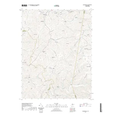
2019 Map of Walkersville
USGS Topo · Published 2019About this map
Walkersville Covered Bridge spans the Right Fork West Fork River, serving as a central landmark for this rural region where Lewis, Braxton, and Upshur counties meet. The landscape is defined by its deep hollows and high knobs, such as Devils Darning Needle and Cochran Knob, which separate the many small settlements and family farmsteads. In the north, Walkersville and Crawford are connected by Walkersville Road, while farther south the drainage shifts toward the Little Kanawha River near Bablin and Wildcat. Genealogists will find several notable burial sites including Pickens Cemetery near Duffy and Green Hill Cemetery. The mapping reveals a complex network of county routes and trails like the Bennett Run Trail, following the winding watercourses of Glady Creek and Leatherbark Run through the dense Appalachian topography.
Find a feature on this map
133 named features on this map. Tap any name to fly to it.
Don’t see what you’re looking for? This feature index may not catch every label — zoom into the map to look around manually.
Map Details
Editions of this 2019 Walkersville Map
This is the sole edition of this map. No revisions or reprints were ever made.
Other maps of this area

1893 · Buckhannon
USGS Topo · 1:125,000

1893 · Sutton
USGS Topo · 1:125,000

1896 · Buckhannon
USGS Topo · 1:125,000

1897 · Buckhannon
USGS Topo · 1:125,000

1906 · Burnsville
USGS Topo · 1:62,500

1908 · Sutton
USGS Topo · 1:48,000

1910 · Sutton Special
USGS Topo · 1:62,500

1912 · Crawford
USGS Topo · 1:48,000

1913 · Hacker Valley
USGS Topo · 1:48,000

1914 · Crawford
USGS Topo · 1:62,500