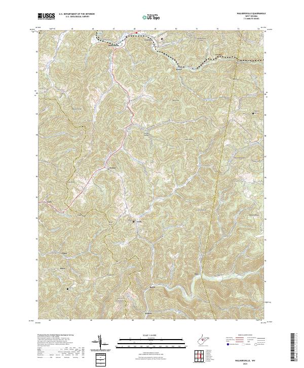
2023 Map of Walkersville
USGS Topo · Published 2023About this map
Walkersville and Ireland anchor this part of Lewis and Upshur counties, where the topography is defined by the headwaters of the West Fork River and the Little Kanawha River. The settlement pattern follows the narrow valley floors and winding ridge roads, with numerous small communities like Duffy, Bablin, and Wildcat tucked into the drainages of Glady Creek and McChord Run. Genealogy researchers will find several family-named landmarks and resting places, including Pickens Cem, Green Hill Cem, and the Post Chapel Cem near Crawford. The transition between the Lewis and Upshur county line is marked by high points such as Cochran Knob and the long expanse of Heaston Ridge, reflecting a landscape where ridge-top travel and hollow-based farming long dictated local life.
Find a feature on this map
132 named features on this map. Tap any name to fly to it.
Don’t see what you’re looking for? This feature index may not catch every label — zoom into the map to look around manually.
Map Details
Editions of this 2023 Walkersville Map
This is the sole edition of this map. No revisions or reprints were ever made.
Other maps of this area

1893 · Buckhannon
USGS Topo · 1:125,000

1893 · Sutton
USGS Topo · 1:125,000

1896 · Buckhannon
USGS Topo · 1:125,000

1897 · Buckhannon
USGS Topo · 1:125,000

1906 · Burnsville
USGS Topo · 1:62,500

1908 · Sutton
USGS Topo · 1:48,000

1910 · Sutton Special
USGS Topo · 1:62,500

1912 · Crawford
USGS Topo · 1:48,000

1913 · Hacker Valley
USGS Topo · 1:48,000

1914 · Crawford
USGS Topo · 1:62,500