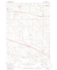
1961 Map of Wall NE
USGS Topo · Published 1980About this map
Quinn sits at the northern edge of this West River landscape, serving as a hub for the surrounding ranching and prairie lands. The Chicago and North Western railroad cuts a straight line through the northern territory, paralleling Highway 14 and connecting remote outposts like the Cottonwood Sch to the larger rail network. The terrain is defined by dramatic rises and depressions, from the prominent Quinn Butte to the expansive Flat Butte and the low-lying Alkali Flat.
Find a feature on this map
21 named features on this map. Tap any name to fly to it.
Don’t see what you’re looking for? This feature index may not catch every label — zoom into the map to look around manually.
Map Details
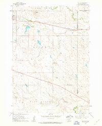
Editions of this 1961 Wall NE Map
2 editions found
Other maps of this area

1953 · Rapid City
USGS Topo · 1:250,000

1954 · Pierre
USGS Topo · 1:250,000

1955 · Hot Springs
USGS Topo · 1:250,000

1955 · Martin
USGS Topo · 1:250,000

1957 · Rapid City
USGS Topo · 1:250,000

1958 · Pierre
USGS Topo · 1:250,000

1958 · Martin
USGS Topo · 1:250,000

1960 · Wall SE
USGS Topo · 1:24,000

1960 · Wall
USGS Topo · 1:24,000

1960 · Cottonwood SW
USGS Topo · 1:24,000