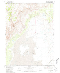
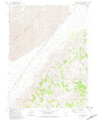
1980 Map of Wall Spring
USGS Topo · Published 1981About this map
The Buffalo Hills rise sharply above the western edge of the Smoke Creek Desert in this 1980 survey, illustrating the stark topographical transitions of northwestern Nevada. This arid landscape is defined by its vital water sources and early ranching infrastructure, such as the Corra Parker Ranch and several notable springs including Wall Spring and Indian Rock Spring. The eastern portion of the sheet is dominated by the flat expanse of the desert floor, where Squaw Creek drains toward the basin. Industrial and transport markers are sparsely distributed but significant, featuring the Western Pacific transit line cutting across the southeastern corner and various Borrow Pits and a Drill Hole indicating local resource exploration. Distinctive landforms like Indian Rock and Five Springs Canyon provide essential landmarks for navigating this remote region.
Find a feature on this map
20 named features on this map. Tap any name to fly to it.
Don’t see what you’re looking for? This feature index may not catch every label — zoom into the map to look around manually.
Map Details
Editions of this 1980 Wall Spring Map
This is the sole edition of this map. No revisions or reprints were ever made.
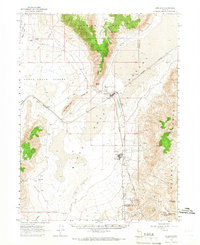
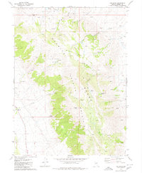
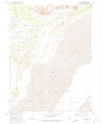
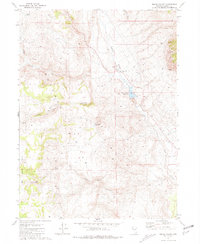
Other maps of this area

1886 · Granite Range
USGS Topo · 1:250,000

1894 · Granite Range
USGS Topo · 1:250,000

1955 · Lovelock
USGS Topo · 1:250,000

1959 · Lovelock
USGS Topo · 1:250,000
1964 · Gerlach
USGS Topo · 1:62,500
1980 · The Banjo
USGS Topo · 1:24,000
1980 · Hog Spring
USGS Topo · 1:24,000
1980 · Smith Canyon
USGS Topo · 1:24,000
1981 · Squaw Valley
USGS Topo · 1:24,000
1981 · Gerlach
USGS Topo · 1:100,000