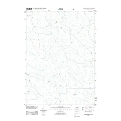
2012 Map of Wallace Ranch
USGS Topo · Published 2012About this map
Wallace Ranch and the nearby settlement of Eckard anchor this 2012 study of the high plains along the South Dakota and Nebraska border. The landscape is defined by an intricate network of seasonal drainage systems, most notably the three branches of Alkali Creek—N Fork Alkali Cr, Middle Fork Alkali Cr, and S Fork Alkali Cr—which carve through the rangeland. These waterways, along with Indian Creek and Coal Creek, illustrate the hydrologic patterns essential for livestock operations in this arid environment.
Find a feature on this map
16 named features on this map. Tap any name to fly to it.
Don’t see what you’re looking for? This feature index may not catch every label — zoom into the map to look around manually.
Map Details
Editions of this 2012 Wallace Ranch Map
This is the sole edition of this map. No revisions or reprints were ever made.
Other maps of this area

1902 · Edgemont
USGS Topo · 1:125,000

1954 · Torrington
USGS Topo · 1:250,000

1955 · Hot Springs
USGS Topo · 1:250,000

1955 · Newcastle
USGS Topo · 1:250,000

1955 · Alliance
USGS Topo · 1:250,000

1957 · Alliance
USGS Topo · 1:250,000

1958 · Torrington
USGS Topo · 1:250,000

1958 · Alliance
USGS Topo · 1:250,000

1958 · Newcastle
USGS Topo · 1:250,000

1978 · Coffee Flats
USGS Topo · 1:24,000