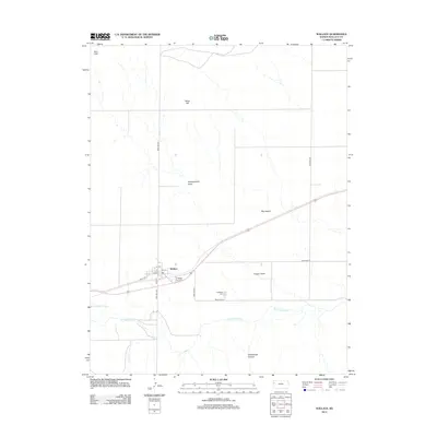
2012 Map of Wallace
USGS Topo · Published 2012About this map
The Smoky Hill River winds through this western Kansas landscape, providing a vital water source in an otherwise arid expanse of draws and canyons. The settlement of Wallace serves as the local anchor, situated near the intersection of several rural routes including Road WA-N26 and Main St. This area is steeped in frontier military history, evidenced by the presence of both the Ft Wallace Post Cem and the Ft Wallace Cem, which offer significant value for genealogists and researchers tracing the heritage of the Great Plains.
Find a feature on this map
23 named features on this map. Tap any name to fly to it.
Don’t see what you’re looking for? This feature index may not catch every label — zoom into the map to look around manually.
Map Details
Editions of this 2012 Wallace Map
This is the sole edition of this map. No revisions or reprints were ever made.
Other maps of this area

1954 · Goodland
USGS Topo · 1:250,000

1955 · Scott City
USGS Topo · 1:250,000

1956 · Goodland
USGS Topo · 1:250,000

1957 · Goodland
USGS Topo · 1:250,000

1958 · Scott City
USGS Topo · 1:250,000

1959 · Wallace
USGS Topo · 1:62,500

1959 · Harris Draw
USGS Topo · 1:62,500

1969 · Russell Springs 2 NW
USGS Topo · 1:24,000

1969 · Russell Springs 2 SW
USGS Topo · 1:24,000
1969 · Mc Allaster
USGS Topo · 1:24,000