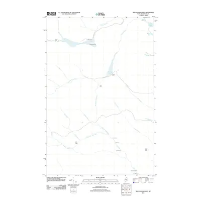
2011 Map of Wallagrass Lakes
USGS Topo · Published 2011About this map
Saucier Camp and Labbe Camp anchor a landscape defined by seasonal residency and the North Woods timber economy in the early 21st century. This northern Aroostook County terrain is heavily segmented by the North Branch Birch River and South Branch Birch River, which converge near Nichols Rapids. The prevalence of named camps, such as Gagnon Sugar Camp and Falls Camp, suggests a region deeply utilized for recreation and traditional forestry practices.
Find a feature on this map
31 named features on this map. Tap any name to fly to it.
Don’t see what you’re looking for? This feature index may not catch every label — zoom into the map to look around manually.
Map Details
Editions of this 2011 Wallagrass Lakes Map
This is the sole edition of this map. No revisions or reprints were ever made.
Other maps of this area

1928 · Eagle Lake
USGS Topo · 1:48,000

1928 · Winterville
USGS Topo · 1:48,000

1930 · St Francis
USGS Topo · 1:48,000

1931 · Fish River Lake
USGS Topo · 1:48,000

1931 · Eagle Lake
USGS Topo · 1:62,500

1931 · Winterville
USGS Topo · 1:62,500

1933 · St Francis
USGS Topo · 1:62,500

1935 · Fish River Lake
USGS Topo · 1:62,500

1954 · Presque Isle
USGS Topo · 1:250,000

1958 · Presque Isle
USGS Topo · 1:250,000