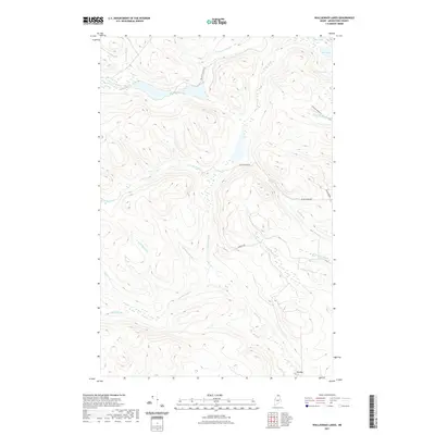
2021 Map of Wallagrass Lakes
USGS Topo · Published 2021About this map
Wallagrass Stream and the headwaters of the Birch River define the intricate drainage systems of this northern Maine landscape. The area is marked by a network of logging and access routes, including Wallagrass Tote Rd and Convent Rd, which navigate the high-elevation contours between numerous small water bodies. Notable lakes such as Marcial Lake, Isle Lake, and Mud Lake are scattered across the terrain, reflecting the glaciated geography typical of Aroostook County. The map details a complex web of named brooks, such as Pinette Brook and Quellette Brook, which feed into the larger river systems. This modern survey provides an exact look at the contemporary hydrology and infrastructure in a region where the timber industry and wilderness access remain central to the local geography, visible in the winding path of Devoe Brook Rd.
Find a feature on this map
24 named features on this map. Tap any name to fly to it.
Don’t see what you’re looking for? This feature index may not catch every label — zoom into the map to look around manually.
Map Details
Editions of this 2021 Wallagrass Lakes Map
This is the sole edition of this map. No revisions or reprints were ever made.
Other maps of this area

1928 · Eagle Lake
USGS Topo · 1:48,000

1928 · Winterville
USGS Topo · 1:48,000

1930 · St Francis
USGS Topo · 1:48,000

1931 · Fish River Lake
USGS Topo · 1:48,000

1931 · Eagle Lake
USGS Topo · 1:62,500

1931 · Winterville
USGS Topo · 1:62,500

1933 · St Francis
USGS Topo · 1:62,500

1935 · Fish River Lake
USGS Topo · 1:62,500

1954 · Presque Isle
USGS Topo · 1:250,000

1958 · Presque Isle
USGS Topo · 1:250,000