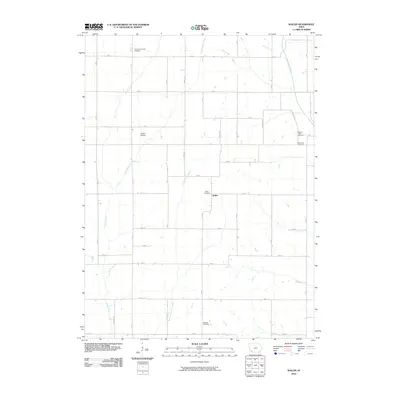
2010 Map of Wallin
USGS Topo · Published 2010About this map
Wallin and its surrounding agricultural landscape in Montgomery County are defined by the intricate drainage of the Tarkio River and its various branches. This 2010 survey illustrates a region where life is organized around the section-line road grid and long-standing community landmarks. The map is a vital resource for genealogists, as it preserves the exact locations of numerous burial grounds across the township, including Pilot Grove Center Cemetery, Tabor Cemetery, and Mission Cemetery.
Find a feature on this map
35 named features on this map. Tap any name to fly to it.
Don’t see what you’re looking for? This feature index may not catch every label — zoom into the map to look around manually.
Map Details
Editions of this 2010 Wallin Map
This is the sole edition of this map. No revisions or reprints were ever made.
Other maps of this area

1954 · Omaha
USGS Topo · 1:250,000

1955 · Nebraska City
USGS Topo · 1:250,000

1957 · Nebraska City
USGS Topo · 1:250,000

1957 · Omaha
USGS Topo · 1:250,000

1958 · Omaha
USGS Topo · 1:250,000

1958 · Nebraska City
USGS Topo · 1:250,000

1978 · Stanton
USGS Topo · 1:24,000

1978 · Griswold
USGS Topo · 1:24,000

1978 · Wallin
USGS Topo · 1:24,000

1978 · Griswold NE
USGS Topo · 1:24,000