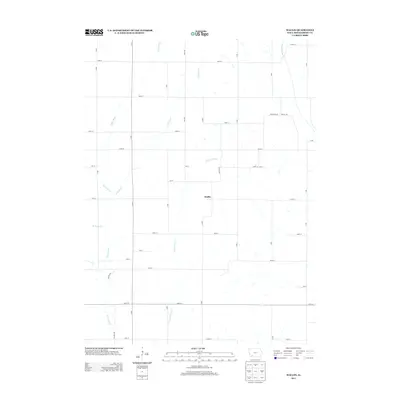
2013 Map of Wallin
USGS Topo · Published 2013About this map
The settlement of Wallin occupies a central position within this Montgomery County landscape, situated at the crossroads of Q Ave and 165 St. The terrain is defined by the branching drainage systems of the Tarkio valley, where the main Tarkio River is fed by the Little Tarkio Cr, E Tarkio Cr, and W Tarkio Cr. This 2013 survey illustrates the enduring agricultural grid of southwestern Iowa, with an extensive network of secondary roads such as N Ave, R Ave, and Nature Ave providing access to the fertile lands between these waterways. The rural character of the region remains largely unchanged, with the small community of Wallin serving as a localized point of reference for researchers tracing the family roots and land patterns of this river-fed prairie.
Find a feature on this map
34 named features on this map. Tap any name to fly to it.
Don’t see what you’re looking for? This feature index may not catch every label — zoom into the map to look around manually.
Map Details
Editions of this 2013 Wallin Map
This is the sole edition of this map. No revisions or reprints were ever made.
Other maps of this area

1954 · Omaha
USGS Topo · 1:250,000

1955 · Nebraska City
USGS Topo · 1:250,000

1957 · Nebraska City
USGS Topo · 1:250,000

1957 · Omaha
USGS Topo · 1:250,000

1958 · Omaha
USGS Topo · 1:250,000

1958 · Nebraska City
USGS Topo · 1:250,000

1978 · Stanton
USGS Topo · 1:24,000

1978 · Griswold
USGS Topo · 1:24,000

1978 · Wallin
USGS Topo · 1:24,000

1978 · Griswold NE
USGS Topo · 1:24,000