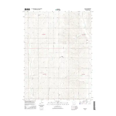
2015 Map of Wallin
USGS Topo · Published 2015About this map
The Tarkio River and its various tributaries, including E Tarkio Cr and Little Tarkio Cr, define the agricultural landscape of this corner of Montgomery County. The small settlement of Wallin sits at the junction of Co HWY h26 and Co HWY m63, serving as a central point for the surrounding rural sections. This area is notably dense with small burying grounds that speak to the long-standing family lineages of the region, such as Tabor Cem, Mission Cem, and Pilot Grove Cem.
Find a feature on this map
37 named features on this map. Tap any name to fly to it.
Don’t see what you’re looking for? This feature index may not catch every label — zoom into the map to look around manually.
Map Details
Editions of this 2015 Wallin Map
This is the sole edition of this map. No revisions or reprints were ever made.
Other maps of this area

1954 · Omaha
USGS Topo · 1:250,000

1955 · Nebraska City
USGS Topo · 1:250,000

1957 · Nebraska City
USGS Topo · 1:250,000

1957 · Omaha
USGS Topo · 1:250,000

1958 · Omaha
USGS Topo · 1:250,000

1958 · Nebraska City
USGS Topo · 1:250,000

1978 · Stanton
USGS Topo · 1:24,000

1978 · Griswold
USGS Topo · 1:24,000

1978 · Wallin
USGS Topo · 1:24,000

1978 · Griswold NE
USGS Topo · 1:24,000