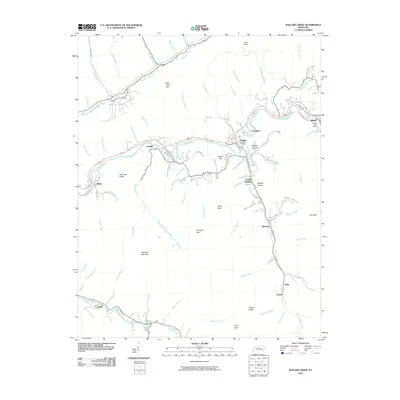
2010 Map of Wallins Creek
USGS Topo · Published 2010About this map
The Cumberland River cuts a central path through this Harlan County landscape, serving as the primary corridor for settlements like Wallins Creek, Layman, and South Wallins. To the north, Straight Creek creates a secondary valley through the steep terrain of Gross Knob and Salt Trace Gap. The distribution of population remains concentrated along these watercourses and the bottomlands of Puckett Creek and Foresters Creek.
Find a feature on this map
78 named features on this map. Tap any name to fly to it.
Don’t see what you’re looking for? This feature index may not catch every label — zoom into the map to look around manually.
Map Details
Editions of this 2010 Wallins Creek Map
This is the sole edition of this map. No revisions or reprints were ever made.
Other maps of this area

1886 · Cumberland Gap
USGS Topo · 1:125,000

1887 · Jonesville
USGS Topo · 1:125,000

1888 · Cumberland Gap
USGS Topo · 1:125,000

1891 · Cumberland Gap
USGS Topo · 1:125,000

1891 · Jonesville
USGS Topo · 1:125,000

1903 · Harlan
USGS Topo · 1:48,000

1903 · Pineville
USGS Topo · 1:48,000

1903 · Middlesboro
USGS Topo · 1:48,000

1916 · Harlan
USGS Topo · 1:48,000

1919 · Harlan
USGS Topo · 1:62,500