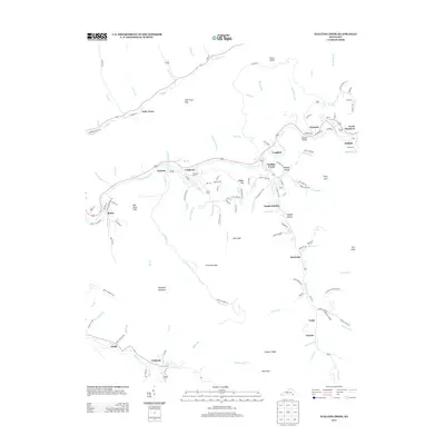
2013 Map of Wallins Creek
USGS Topo · Published 2013About this map
The Cumberland River cuts a prominent path through this mountain landscape, providing a primary corridor for settlements like Coldiron and Layman. The topography is defined by high ridges and spurs, including Foresters Spur and Puckett Ridge, which separate the various creek valleys. Small communities and named hollows are scattered throughout the drainage basins, with Wallins Creek serving as a central hub alongside South Wallins. The map illustrates a dense network of local roads and creek-side dwellings, reflecting a settlement pattern deeply tied to the narrow valley floors. Genealogists will find notable burial sites such as Coldiron Cem and Gross Cem, while local historians can trace the development of smaller locales like Tacky Town and Fresh Meadows.
Find a feature on this map
137 named features on this map. Tap any name to fly to it.
Don’t see what you’re looking for? This feature index may not catch every label — zoom into the map to look around manually.
Map Details
Editions of this 2013 Wallins Creek Map
This is the sole edition of this map. No revisions or reprints were ever made.
Other maps of this area

1886 · Cumberland Gap
USGS Topo · 1:125,000

1887 · Jonesville
USGS Topo · 1:125,000

1888 · Cumberland Gap
USGS Topo · 1:125,000

1891 · Cumberland Gap
USGS Topo · 1:125,000

1891 · Jonesville
USGS Topo · 1:125,000

1903 · Harlan
USGS Topo · 1:48,000

1903 · Pineville
USGS Topo · 1:48,000

1903 · Middlesboro
USGS Topo · 1:48,000

1916 · Harlan
USGS Topo · 1:48,000

1919 · Harlan
USGS Topo · 1:62,500