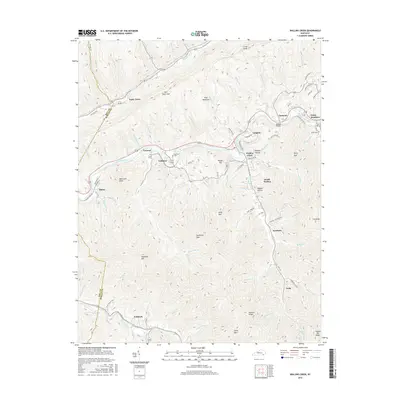
2016 Map of Wallins Creek
USGS Topo · Published 2016About this map
Pine Mountain and the winding Cumberland River define the topography of this Harlan County region, where coal-country settlements follow the narrow creek valleys and gaps. The community of Wallins Creek sits at a central drainage point, surrounded by numerous named spurs and knobs such as Jesse Spur and Bob Lowe Knob. The map documents a dense network of local hollows and ridges, from Bulldog Hollow to the high elevations of Reynolds Mtn.
Find a feature on this map
105 named features on this map. Tap any name to fly to it.
Don’t see what you’re looking for? This feature index may not catch every label — zoom into the map to look around manually.
Map Details
Editions of this 2016 Wallins Creek Map
This is the sole edition of this map. No revisions or reprints were ever made.
Other maps of this area

1886 · Cumberland Gap
USGS Topo · 1:125,000

1887 · Jonesville
USGS Topo · 1:125,000

1888 · Cumberland Gap
USGS Topo · 1:125,000

1891 · Cumberland Gap
USGS Topo · 1:125,000

1891 · Jonesville
USGS Topo · 1:125,000

1903 · Harlan
USGS Topo · 1:48,000

1903 · Pineville
USGS Topo · 1:48,000

1903 · Middlesboro
USGS Topo · 1:48,000

1916 · Harlan
USGS Topo · 1:48,000

1919 · Harlan
USGS Topo · 1:62,500