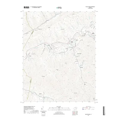
2019 Map of Wallins Creek
USGS Topo · Published 2019About this map
Wallins Creek serves as a primary hub for this portion of the Cumberland River corridor, where the valley floor transitions into the steep elevations of Pine Mountain. The map details a series of coal-country settlements including Tacky Town, Coldiron, and Twila, reflecting the dense residential patterns that followed the river and its narrow tributaries. To the north, the terrain is dominated by ridges like Gross Knob and Ginnie Hill, while the southern reaches rise toward Reynolds Mtn and Puckett Ridge. Local family history is rooted in sites such as the Coldiron Cem and Gross Cem, alongside many named branches and hollows like Bulldog Hollow and Mapple Hollow that define the local geography. The winding path of the Cumberland River is the central artery, flanked by early transportation routes like Old Pine Hwy and the local connections to South Wallins and Kentenia.
Find a feature on this map
118 named features on this map. Tap any name to fly to it.
Don’t see what you’re looking for? This feature index may not catch every label — zoom into the map to look around manually.
Map Details
Editions of this 2019 Wallins Creek Map
This is the sole edition of this map. No revisions or reprints were ever made.
Other maps of this area

1886 · Cumberland Gap
USGS Topo · 1:125,000

1887 · Jonesville
USGS Topo · 1:125,000

1888 · Cumberland Gap
USGS Topo · 1:125,000

1891 · Cumberland Gap
USGS Topo · 1:125,000

1891 · Jonesville
USGS Topo · 1:125,000

1903 · Harlan
USGS Topo · 1:48,000

1903 · Pineville
USGS Topo · 1:48,000

1903 · Middlesboro
USGS Topo · 1:48,000

1916 · Harlan
USGS Topo · 1:48,000

1919 · Harlan
USGS Topo · 1:62,500