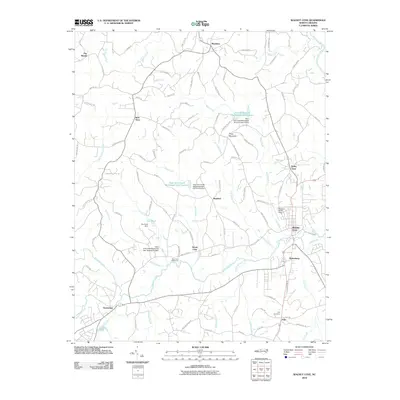
2010 Map of Walnut Cove
USGS Topo · Published 2010About this map
Walnut Cove and Germanton anchor this 2010 survey of central Stokes County, where the landscape is defined by the winding course of Town Fork Creek and its many tributaries. The map documents a rural transition zone where traditional crossroads settlements like Ross Store, Rosebud, and Brook Cove persist alongside modern watershed management. A series of water control structures, including Town Fork Creek Watershed Dam Number Fifteen and Fox Pond Dam, dot the drainage basins of Mills Creek and Voss Creek. Genealogists will find interest in localized sites such as the Fulp Cemetery near Fulp and the Town Fork Settlement. The topography rises toward Piney Mountain in the center, while the eastern edge is clipped by the Dan River, showing a region balancing its agricultural roots with active environmental engineering projects.
Find a feature on this map
101 named features on this map. Tap any name to fly to it.
Don’t see what you’re looking for? This feature index may not catch every label — zoom into the map to look around manually.
Map Details
Editions of this 2010 Walnut Cove Map
This is the sole edition of this map. No revisions or reprints were ever made.
Other maps of this area

1951 · Rural Hall
USGS Topo · 1:24,000

1951 · Walkertown
USGS Topo · 1:24,000

1953 · Winston-Salem
USGS Topo · 1:250,000

1955 · Winston-Salem
USGS Topo · 1:250,000

1962 · Winston-Salem
USGS Topo · 1:250,000

1964 · Hanging Rock
USGS Topo · 1:24,000

1964 · King
USGS Topo · 1:24,000

1969 · Belews Creek
USGS Topo · 1:24,000
1971 · Walnut Cove
USGS Topo · 1:24,000
1971 · Belews Lake
USGS Topo · 1:24,000