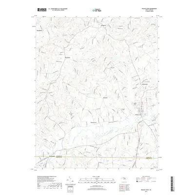
2019 Map of Walnut Cove
USGS Topo · Published 2019About this map
Town Fork Creek flows eastward through the southern half of this landscape, anchoring the historical development of Walnut Cove and Germanton. This 2019 survey documents the rural character and small-town structure of southeast Stokes County, where the topography transitions from the banks of the Dan River to the heights of Piney Mtn. The map reveals a network of unincorporated communities and local gathering points, including Ross Store, Rosebud, and Brook Cove.
Find a feature on this map
179 named features on this map. Tap any name to fly to it.
Don’t see what you’re looking for? This feature index may not catch every label — zoom into the map to look around manually.
Map Details
Editions of this 2019 Walnut Cove Map
This is the sole edition of this map. No revisions or reprints were ever made.
Other maps of this area

1951 · Rural Hall
USGS Topo · 1:24,000

1951 · Walkertown
USGS Topo · 1:24,000

1953 · Winston-Salem
USGS Topo · 1:250,000

1955 · Winston-Salem
USGS Topo · 1:250,000

1962 · Winston-Salem
USGS Topo · 1:250,000

1964 · Hanging Rock
USGS Topo · 1:24,000

1964 · King
USGS Topo · 1:24,000

1969 · Belews Creek
USGS Topo · 1:24,000
1971 · Walnut Cove
USGS Topo · 1:24,000
1971 · Belews Lake
USGS Topo · 1:24,000