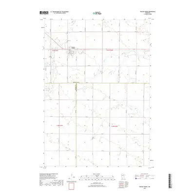
2019 Map of Walnut Grove
USGS Topo · Published 2019About this map
Walnut Grove serves as the focal point of this southwestern Minnesota prairie landscape, situated at the junction of Co Rd 5 and the east-west corridor of Main St. The town's grid is clearly defined, featuring local thoroughfares such as Bedal St and Washington St. Outside the town center, the terrain is characterized by the meandering paths of Plum Cr and Pell Cr, which weave through the agricultural sections of Redwood Co, Murray Co, and Cottonwood Co.
Find a feature on this map
44 named features on this map. Tap any name to fly to it.
Don’t see what you’re looking for? This feature index may not catch every label — zoom into the map to look around manually.
Map Details
Editions of this 2019 Walnut Grove Map
This is the sole edition of this map. No revisions or reprints were ever made.
Other maps of this area

1953 · New Ulm
USGS Topo · 1:250,000

1957 · New Ulm
USGS Topo · 1:250,000

1958 · New Ulm
USGS Topo · 1:250,000

1962 · Milroy SE
USGS Topo · 1:24,000

1967 · New Ulm
USGS Topo · 1:250,000

1967 · Wabasso SE
USGS Topo · 1:24,000

1967 · Walnut Grove
USGS Topo · 1:24,000

1967 · Tracy East
USGS Topo · 1:24,000

1967 · Storden
USGS Topo · 1:24,000

1967 · Dovray
USGS Topo · 1:24,000