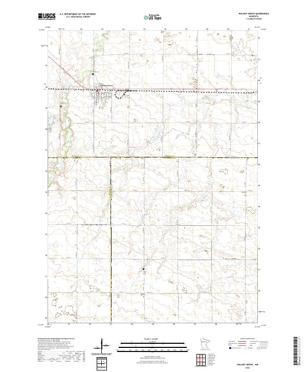
2022 Map of Walnut Grove
USGS Topo · Published 2022About this map
Walnut Grove serves as the focal point of this landscape where the boundaries of Redwood, Murray, and Cottonwood counties converge. The town site is structured around a traditional grid of streets including Main St, Washington St, and Bedal St, situated just south of the winding Plum Cr. This area is deeply tied to the literary history of the American frontier, specifically the childhood of Laura Ingalls Wilder, and the map illustrates the real-world geography of that era's drainage and settlement patterns.
Find a feature on this map
47 named features on this map. Tap any name to fly to it.
Don’t see what you’re looking for? This feature index may not catch every label — zoom into the map to look around manually.
Map Details
Editions of this 2022 Walnut Grove Map
This is the sole edition of this map. No revisions or reprints were ever made.
Other maps of this area

1953 · New Ulm
USGS Topo · 1:250,000

1957 · New Ulm
USGS Topo · 1:250,000

1958 · New Ulm
USGS Topo · 1:250,000

1962 · Milroy SE
USGS Topo · 1:24,000

1967 · New Ulm
USGS Topo · 1:250,000

1967 · Wabasso SE
USGS Topo · 1:24,000

1967 · Walnut Grove
USGS Topo · 1:24,000

1967 · Tracy East
USGS Topo · 1:24,000

1967 · Storden
USGS Topo · 1:24,000

1967 · Dovray
USGS Topo · 1:24,000