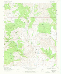
1969 Map of Walnut Grove
USGS Topo · Published 1971About this map
The Hassayampa River carves a path through this corner of the Prescott National Forest, where late 1960s Arizona ranching and mining legacy meet. Small settlements and family holdings like Walnut Grove anchor the landscape, supported by essential community landmarks including the Walnut Grove School and Walnut Grove Cemetery. The rugged terrain of the Weaver Mountains and Black Mountain is marked by a network of jeep trails and pack trails, signaling a transition from early industrial extraction to a more modern, dispersed land use.
Find a feature on this map
52 named features on this map. Tap any name to fly to it.
Don’t see what you’re looking for? This feature index may not catch every label — zoom into the map to look around manually.
Map Details
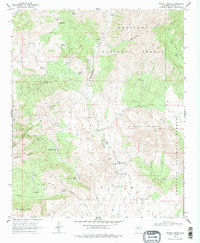
Editions of this 1969 Walnut Grove Map
2 editions found
Other maps of this area

1887 · Prescott
USGS Topo · 1:250,000

1892 · Prescott
USGS Topo · 1:250,000

1903 · Bradshaw Mountains
USGS Topo · 1:125,000

1903 · Congress
USGS Topo · 1:125,000

1904 · Congress
USGS Topo · 1:125,000

1947 · Crown King
USGS Topo · 1:62,500

1947 · Mt. Union
USGS Topo · 1:62,500

1947 · Kirkland
USGS Topo · 1:62,500

1947 · Wagoner
USGS Topo · 1:62,500

1948 · Crown King
USGS Topo · 1:63,360