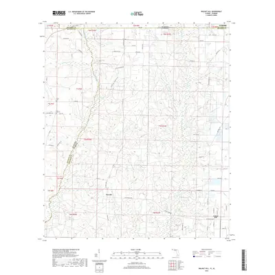
2018 Map of Walnut Hill
USGS Topo · Published 2018About this map
The Perdido River serves as a natural boundary in this landscape where the borders of Alabama and Florida meet. The terrain is defined by a dense network of drainage systems, including Hubbard Cr, Brushy Cr, and Thompson Br, which carve through the land to form features like Long Hollow. Small communities such as Pineville and Walnut Hill anchor the southern portion of the map, connected by a grid of rural routes including Arthur Brown Rd and S Pineville Rd. Historical markers of early settlement are visible at the Dutch Cem and Halls Fork Cem. This survey illustrates the intricate intersection of state and county lines, showing where Escambia Co in Alabama joins its Florida namesake and Baldwin Co, reflecting a region where political geography is deeply influenced by the winding path of its waterways.
Find a feature on this map
75 named features on this map. Tap any name to fly to it.
Don’t see what you’re looking for? This feature index may not catch every label — zoom into the map to look around manually.
Map Details
Editions of this 2018 Walnut Hill Map
This is the sole edition of this map. No revisions or reprints were ever made.
Other maps of this area

1941 · Century
USGS Topo · 1:62,500

1942 · Perdido
USGS Topo · 1:62,500

1942 · Dyas
USGS Topo · 1:62,500

1943 · Century
USGS Topo · 1:62,500

1944 · Dyas
USGS Topo · 1:62,500

1944 · Perdido
USGS Topo · 1:62,500

1953 · Andalusia
USGS Topo · 1:250,000

1957 · Andalusia
USGS Topo · 1:250,000

1957 · Pensacola
USGS Topo · 1:250,000

1959 · Pensacola
USGS Topo · 1:250,000