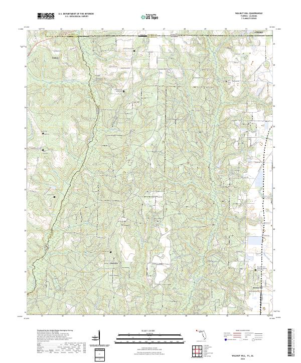
2024 Map of Walnut Hill
USGS Topo · Published 2024About this map
The Perdido River serves as the winding natural boundary between Alabama and Florida, anchoring a landscape defined by small rural settlements and family homesteads. The community of Walnut Hill sits in the southeast corner of this contemporary survey, where local life centers around landmarks like the New Saint Paul Missionary Baptist Church. To the west, the settlement of Perdido occupies the higher ground above Thompson Branch, while Pineville sits centrally along the corridor of S Pineville Rd.
Find a feature on this map
85 named features on this map. Tap any name to fly to it.
Don’t see what you’re looking for? This feature index may not catch every label — zoom into the map to look around manually.
Map Details
Editions of this 2024 Walnut Hill Map
This is the sole edition of this map. No revisions or reprints were ever made.
Other maps of this area

1941 · Century
USGS Topo · 1:62,500

1942 · Perdido
USGS Topo · 1:62,500

1942 · Dyas
USGS Topo · 1:62,500

1943 · Century
USGS Topo · 1:62,500

1944 · Dyas
USGS Topo · 1:62,500

1944 · Perdido
USGS Topo · 1:62,500

1953 · Andalusia
USGS Topo · 1:250,000

1957 · Andalusia
USGS Topo · 1:250,000

1957 · Pensacola
USGS Topo · 1:250,000

1959 · Pensacola
USGS Topo · 1:250,000