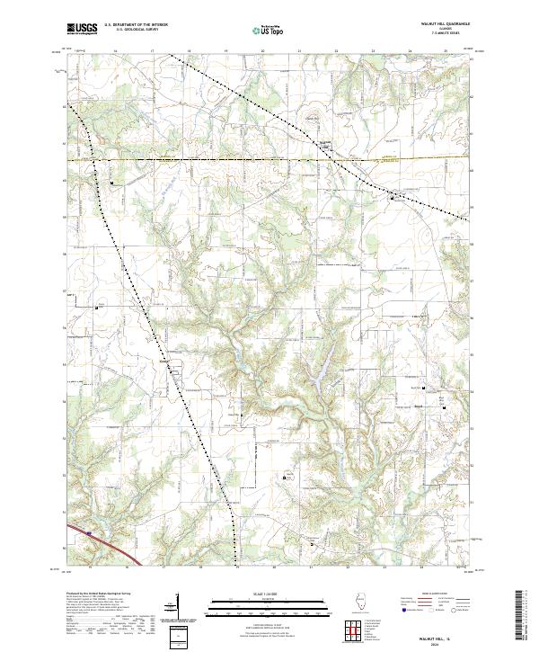
2024 Map of Walnut Hill
USGS Topo · Published 2024About this map
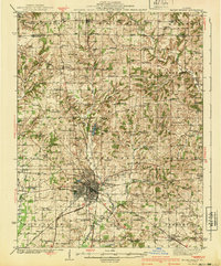
The Big Muddy River winds through this landscape on the border of Marion Co and Jefferson Co, defining a terrain of low ridges and agricultural reaches. The settlement of Walnut Hill sits at a prominent road junction near Creeds Hill, while the smaller hamlets of Cravat and Boyd serve as local focal points in the surrounding countryside. This survey captures the rural character of the region through its extensive network of country roads, such as Oniontown Rd and Bundyville Rd, which connect long-standing homesteads and family-named landmarks. Numerous burial grounds, including Little Grove Cem, Fouts Cem, and the Boyd Farm Cem, are scattered across the quadrangle, offering essential clues for genealogists and local historians tracing the settlement patterns of this Illinois borderland.
Find a feature on this map
115 named features on this map. Tap any name to fly to it.
Don’t see what you’re looking for? This feature index may not catch every label — zoom into the map to look around manually.
Map Details
Editions of this 2024 Walnut Hill Map
This is the sole edition of this map. No revisions or reprints were ever made.
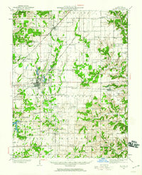
Other maps of this area

1914 · Centralia
USGS Topo · 1:62,500
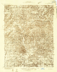
1933 · Mount Vernon
USGS Topo · 1:48,000
1934 · Salem
USGS Topo · 1:62,500

1935 · Centralia
USGS Topo · 1:62,500
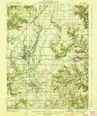
1938 · Salem
USGS Topo · 1:62,500
1940 · Mount Vernon
USGS Topo · 1:62,500

1943 · Ashley
USGS Topo · 1:62,500

1946 · Ashley
USGS Topo · 1:62,500

1958 · Belleville
USGS Topo · 1:250,000

1962 · Belleville
USGS Topo · 1:250,000