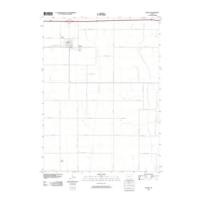
2010 Map of Walnut
USGS Topo · Published 2010About this map
Walnut serves as the central hub of this eastern Pottawattamie County landscape, positioned where the grid of rural roads meets the diagonal path of the regional interstate. The town's civic heart is anchored by the Walnut Post Office, while its social history is preserved in nearby grounds such as the Walnut Catholic Cemetery and the more central Walnut Cemetery along Westgate Rd. To the south, the Lincoln Township Cemetery sits in a more isolated position among the fields, marking the early settlement patterns of the surrounding township.
Find a feature on this map
27 named features on this map. Tap any name to fly to it.
Don’t see what you’re looking for? This feature index may not catch every label — zoom into the map to look around manually.
Map Details
Editions of this 2010 Walnut Map
This is the sole edition of this map. No revisions or reprints were ever made.
Other maps of this area

1954 · Omaha
USGS Topo · 1:250,000

1957 · Omaha
USGS Topo · 1:250,000

1958 · Omaha
USGS Topo · 1:250,000

1963 · Avoca SE
USGS Topo · 1:24,000

1963 · Avoca
USGS Topo · 1:24,000

1971 · Walnut
USGS Topo · 1:24,000

1971 · Atlantic
USGS Topo · 1:24,000

1971 · Atlantic SW
USGS Topo · 1:24,000

1971 · Lewis
USGS Topo · 1:24,000

1978 · Elk Horn
USGS Topo · 1:24,000