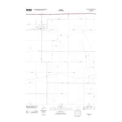
2013 Map of Walnut
USGS Topo · Published 2013About this map
The town of Walnut serves as the focal point of this western Iowa landscape, where the street grid is bisected by the prominent north-south thoroughfare of Antique City Dr. This 2013 survey illustrates the modern layout of the community, showing its integration with the surrounding agricultural land through a rigid network of section-line roads like Chicago Rd and Western Ave. The drainage pattern is defined by the meandering courses of Walnut Cr and Indian Cr, which cut through the terrain and influence the placement of rural developments.
Find a feature on this map
45 named features on this map. Tap any name to fly to it.
Don’t see what you’re looking for? This feature index may not catch every label — zoom into the map to look around manually.
Map Details
Editions of this 2013 Walnut Map
This is the sole edition of this map. No revisions or reprints were ever made.
Other maps of this area

1954 · Omaha
USGS Topo · 1:250,000

1957 · Omaha
USGS Topo · 1:250,000

1958 · Omaha
USGS Topo · 1:250,000

1963 · Avoca SE
USGS Topo · 1:24,000

1963 · Avoca
USGS Topo · 1:24,000

1971 · Walnut
USGS Topo · 1:24,000

1971 · Atlantic
USGS Topo · 1:24,000

1971 · Atlantic SW
USGS Topo · 1:24,000

1971 · Lewis
USGS Topo · 1:24,000

1978 · Elk Horn
USGS Topo · 1:24,000