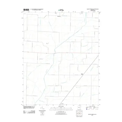
2011 Map of Walnut Ridge SE
USGS Topo · Published 2011About this map
Cache River meanders across this landscape in Greene and Lawrence counties, defining a region where water management has long shaped the pattern of settlement. The extensive network of engineered waterways, including the Float Road Ditch, Duck Branch Ditch, and Number 26 Ditch, reveals the complex effort to drain and cultivate this portion of the Arkansas delta. Small crossroads like Whiskerville, Walnut Corner, and Fontaine serve as the primary hubs for this agricultural community.
Find a feature on this map
50 named features on this map. Tap any name to fly to it.
Don’t see what you’re looking for? This feature index may not catch every label — zoom into the map to look around manually.
Map Details
Editions of this 2011 Walnut Ridge SE Map
This is the sole edition of this map. No revisions or reprints were ever made.
Other maps of this area

1932 · Walnut Ridge
USGS Topo · 1:62,500

1935 · Sedgwick
USGS Topo · 1:62,500

1935 · Walnut Ridge
USGS Topo · 1:62,500

1939 · Jonesboro
USGS Topo · 1:62,500

1940 · Gainesville
USGS Topo · 1:62,500

1953 · Memphis
USGS Topo · 1:250,000

1956 · Memphis
USGS Topo · 1:250,000

1957 · Poplar Bluff
USGS Topo · 1:250,000

1958 · Jonesboro
USGS Topo · 1:62,500

1958 · Gainesville
USGS Topo · 1:62,500