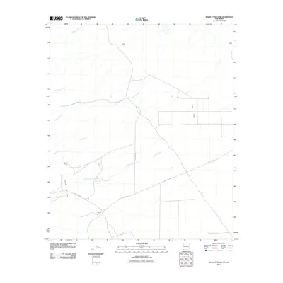
2010 Map of Walnut Wells NE
USGS Topo · Published 2010About this map
The Animas Mountains and the expansive Playas Valley define this section of the New Mexico landscape during the first decade of the 21st century. The map documents a sparse ranching and mining environment, characterized by isolated holdings such as Youngs Ranch, Lanes Ranch, and the curiously named Jacks Defeat. Resource extraction is evidenced by the Red Hill Mine, located near the intersection of several unnamed access trails.
Find a feature on this map
14 named features on this map. Tap any name to fly to it.
Don’t see what you’re looking for? This feature index may not catch every label — zoom into the map to look around manually.
Map Details
Editions of this 2010 Walnut Wells NE Map
This is the sole edition of this map. No revisions or reprints were ever made.
Other maps of this area

1918 · Big Hatchet Peak
USGS Topo · 1:62,500

1918 · Hachita
USGS Topo · 1:62,500

1918 · Walnut Wells
USGS Topo · 1:62,500

1918 · Playas
USGS Topo · 1:62,500

1919 · Playas
USGS Topo · 1:62,500

1923 · Walnut Wells
USGS Topo · 1:62,500

1955 · Douglas
USGS Topo · 1:250,000

1959 · Douglas
USGS Topo · 1:250,000

1961 · Douglas
USGS Topo · 1:250,000

1964 · Douglas
USGS Topo · 1:250,000