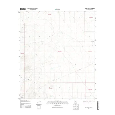
2013 Map of Walnut Wells NE
USGS Topo · Published 2013About this map
The eastern foothills of the Animas Mountains descend into the high desert plains of the Playas Valley in this remote stretch of Hidalgo County. The drainage pattern is the defining characteristic of this landscape, with several ephemeral watercourses like Cottonwood Cr, Millsite Cr, and Gillespie Creek cutting through the terrain as they flow eastward from the high peaks. These intermittent streams are vital markers in an arid environment, often dictating the placement of early ranching infrastructure and routes. Co Road C016 provides the primary transit through the area, tracing a path across the varied elevations. The map details a largely undeveloped region, showing the transition from mountain slopes to the open valley floor near Ash Cr and Cowboy Cr, illustrating the vast, unpopulated reaches of the New Mexico borderlands.
Find a feature on this map
18 named features on this map. Tap any name to fly to it.
Don’t see what you’re looking for? This feature index may not catch every label — zoom into the map to look around manually.
Map Details
Editions of this 2013 Walnut Wells NE Map
This is the sole edition of this map. No revisions or reprints were ever made.
Other maps of this area

1918 · Big Hatchet Peak
USGS Topo · 1:62,500

1918 · Hachita
USGS Topo · 1:62,500

1918 · Walnut Wells
USGS Topo · 1:62,500

1918 · Playas
USGS Topo · 1:62,500

1919 · Playas
USGS Topo · 1:62,500

1923 · Walnut Wells
USGS Topo · 1:62,500

1955 · Douglas
USGS Topo · 1:250,000

1959 · Douglas
USGS Topo · 1:250,000

1961 · Douglas
USGS Topo · 1:250,000

1964 · Douglas
USGS Topo · 1:250,000