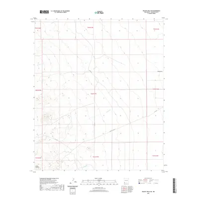
2020 Map of Walnut Wells NE
USGS Topo · Published 2020About this map
Animas Mountains foothills dominate the southwestern corner of this Hidalgo County landscape, where the high desert terrain transitions toward the Playas Valley in the east. This survey from 2020 documents a network of intermittent drainages, including Gillespie Cr, Milsite Cr, and Cottonwood Cr, which define the hydrological patterns of the basin. The presence of the Mining & Milling Rd suggests the historical industrial activity that once shaped this remote region of New Mexico. While largely uninhabited, the area is partitioned by established routes like Co Rd C016, providing a clear look at the modern land management and township boundaries that organize these expansive western reaches.
Find a feature on this map
19 named features on this map. Tap any name to fly to it.
Don’t see what you’re looking for? This feature index may not catch every label — zoom into the map to look around manually.
Map Details
Editions of this 2020 Walnut Wells NE Map
This is the sole edition of this map. No revisions or reprints were ever made.
Other maps of this area

1918 · Big Hatchet Peak
USGS Topo · 1:62,500

1918 · Hachita
USGS Topo · 1:62,500

1918 · Walnut Wells
USGS Topo · 1:62,500

1918 · Playas
USGS Topo · 1:62,500

1919 · Playas
USGS Topo · 1:62,500

1923 · Walnut Wells
USGS Topo · 1:62,500

1955 · Douglas
USGS Topo · 1:250,000

1959 · Douglas
USGS Topo · 1:250,000

1961 · Douglas
USGS Topo · 1:250,000

1964 · Douglas
USGS Topo · 1:250,000