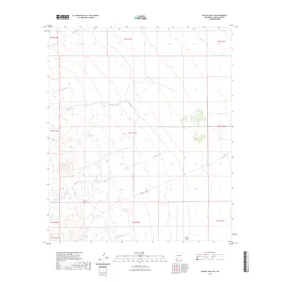
2023 Map of Walnut Wells NE
USGS Topo · Published 2023About this map
The Animas Mountains rise along the western edge of this landscape, overlooking a series of desert drainages that flow toward the Playas Valley. The terrain is defined by its industrial and ranching infrastructure, most notably the Mining & Milling Rd and Co Rd C016 which navigate the contours between peaks and basins. These paths provide access to the various seasonal watercourses that carve through the arid environment, including Gillespie Creek, Millsite Creek, and Ash Creek.
Find a feature on this map
19 named features on this map. Tap any name to fly to it.
Don’t see what you’re looking for? This feature index may not catch every label — zoom into the map to look around manually.
Map Details
Editions of this 2023 Walnut Wells NE Map
This is the sole edition of this map. No revisions or reprints were ever made.
Other maps of this area

1918 · Big Hatchet Peak
USGS Topo · 1:62,500

1918 · Hachita
USGS Topo · 1:62,500

1918 · Walnut Wells
USGS Topo · 1:62,500

1918 · Playas
USGS Topo · 1:62,500

1919 · Playas
USGS Topo · 1:62,500

1923 · Walnut Wells
USGS Topo · 1:62,500

1955 · Douglas
USGS Topo · 1:250,000

1959 · Douglas
USGS Topo · 1:250,000

1961 · Douglas
USGS Topo · 1:250,000

1964 · Douglas
USGS Topo · 1:250,000