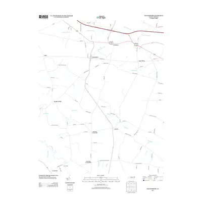
2013 Map of Walstonburg
USGS Topo · Published 2013About this map
Walstonburg serves as the primary hub in this eastern North Carolina landscape, where the local economy was historically tied to the N Railroad Ave corridor. The geography is defined by a dense network of slow-moving water bodies like Thompson Swamp, Little Contentnea Cr, and Lighter Knot Swamp, which hem in the cultivated lands and traditional crossroads. This survey captures the region just before significant modern development, showing established rural communities such as Fieldsboro, Castoria, and Appie. For local historians, the placement of Speights Bridge and Fools Bridge over the winding southern creeks illustrates the historical reliance on specific ford and bridge locations to navigate the swampy bottomlands of the coastal plain. Numerous family-named intersections like Wootens Crossroads and Herrings Crossroads suggest the deep-rooted genealogical heritage of this farming district.
Find a feature on this map
81 named features on this map. Tap any name to fly to it.
Don’t see what you’re looking for? This feature index may not catch every label — zoom into the map to look around manually.
Map Details
Editions of this 2013 Walstonburg Map
This is the sole edition of this map. No revisions or reprints were ever made.
Other maps of this area

1904 · Falkland
USGS Topo · 1:62,500

1904 · Wilson
USGS Topo · 1:62,500

1914 · Kinston
USGS Topo · 1:48,000

1916 · Kinston
USGS Topo · 1:62,500

1953 · Rocky Mount
USGS Topo · 1:250,000

1954 · Rocky Mount
USGS Topo · 1:250,000

1957 · Goldsboro
USGS Topo · 1:62,500
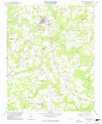
1978 · Stantonsburg
USGS Topo · 1:24,000
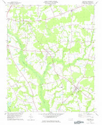
1978 · Saratoga
USGS Topo · 1:24,000

1980 · Falkland
USGS Topo · 1:24,000