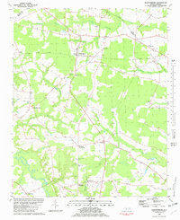
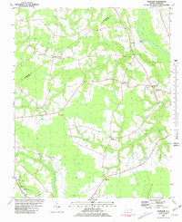
1981 Map of Walstonburg
USGS Topo · Published 1982About this map
Walstonburg sits at the heart of this agricultural landscape in eastern North Carolina, where the Norfolk Southern railway bisects a terrain defined by extensive swamp networks. The drainage patterns of Thompson Swamp, Howell Swamp, and Middle Swamp dictate the placement of local infrastructure, forcing many primary routes to follow the higher ground between these watercourses. This distribution of settlements, from Fieldsboro to Speights Bridge, reflects a rural economy deeply tied to the land.
Find a feature on this map
37 named features on this map. Tap any name to fly to it.
Don’t see what you’re looking for? This feature index may not catch every label — zoom into the map to look around manually.
Map Details
Editions of this 1981 Walstonburg Map
This is the sole edition of this map. No revisions or reprints were ever made.
Other maps of this area
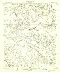
1904 · Falkland
USGS Topo · 1:62,500
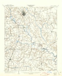
1904 · Wilson
USGS Topo · 1:62,500
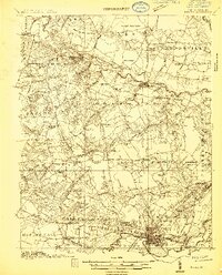
1914 · Kinston
USGS Topo · 1:48,000
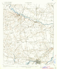
1916 · Kinston
USGS Topo · 1:62,500

1953 · Rocky Mount
USGS Topo · 1:250,000

1954 · Rocky Mount
USGS Topo · 1:250,000
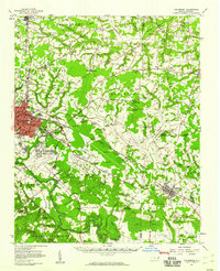
1957 · Goldsboro
USGS Topo · 1:62,500
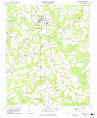
1978 · Stantonsburg
USGS Topo · 1:24,000
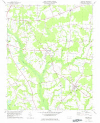
1978 · Saratoga
USGS Topo · 1:24,000
1980 · Falkland
USGS Topo · 1:24,000