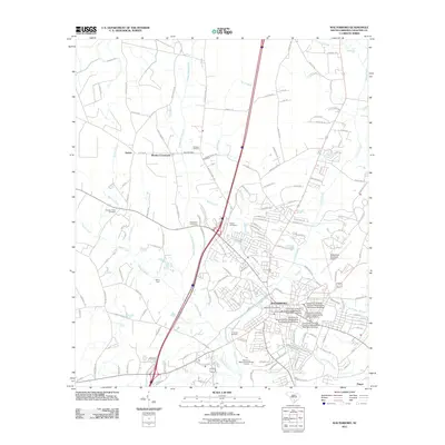
2011 Map of Walterboro
USGS Topo · Published 2011About this map
Walterboro serves as the regional anchor in this 2011 survey, showing the town's modern infrastructure and academic presence through the University of South Carolina Salkehatchie buildings. The surrounding Lowcountry landscape is defined by the winding Ashepoo River and several significant tributaries, including Doctors Creek and Wolf Creek. The road network connects established rural communities such as Stokes, Rhodes Crossroads, and Smokes Corners, which maintain their distinct identities even as the primary transportation corridors modernize. Genealogists will find several notable burial grounds documented, including Zion Cemetery, Evergreen Cemetery, and Liveoak Cemetery. The presence of Millers Ford on the Ashepoo River and the Walterboro Municipal Airport north of the city center illustrates the transition from traditional river crossings to modern aviation facilities in Colleton County.
Find a feature on this map
149 named features on this map. Tap any name to fly to it.
Don’t see what you’re looking for? This feature index may not catch every label — zoom into the map to look around manually.
Map Details
Editions of this 2011 Walterboro Map
This is the sole edition of this map. No revisions or reprints were ever made.
Other maps of this area

1918 · Walterboro
USGS Topo · 1:62,500

1919 · Cummings
USGS Topo · 1:62,500

1919 · Lodge
USGS Topo · 1:62,500

1920 · Lodge
USGS Topo · 1:48,000

1920 · St. George
USGS Topo · 1:48,000

1921 · Lodge
USGS Topo · 1:62,500

1921 · St. George
USGS Topo · 1:62,500

1943 · Lodge
USGS Topo · 1:62,500

1943 · Orangeburg
USGS Topo · 1:125,000

1943 · Cummings
USGS Topo · 1:62,500