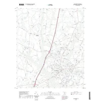
2020 Map of Walterboro
USGS Topo · Published 2020About this map
The Colleton County Courthouse stands as the central landmark for the county seat of Walterboro, anchoring a landscape where civic life meets the expansive wetlands of the South Carolina Lowcountry. This 2020 survey illustrates the town's modern footprint, extending toward the Lowcountry Regional Airport and intersecting with several significant watercourses, including the Ashepoo River and the broad Great Swamp. The map provides a detailed view of the surrounding rural communities, such as Stokes and Rhodes Crossroads, which are defined by timberlands and a dense network of country roads.
Find a feature on this map
187 named features on this map. Tap any name to fly to it.
Don’t see what you’re looking for? This feature index may not catch every label — zoom into the map to look around manually.
Map Details
Editions of this 2020 Walterboro Map
This is the sole edition of this map. No revisions or reprints were ever made.
Other maps of this area

1918 · Walterboro
USGS Topo · 1:62,500

1919 · Cummings
USGS Topo · 1:62,500

1919 · Lodge
USGS Topo · 1:62,500

1920 · Lodge
USGS Topo · 1:48,000

1920 · St. George
USGS Topo · 1:48,000

1921 · Lodge
USGS Topo · 1:62,500

1921 · St. George
USGS Topo · 1:62,500

1943 · Lodge
USGS Topo · 1:62,500

1943 · Orangeburg
USGS Topo · 1:125,000

1943 · Cummings
USGS Topo · 1:62,500