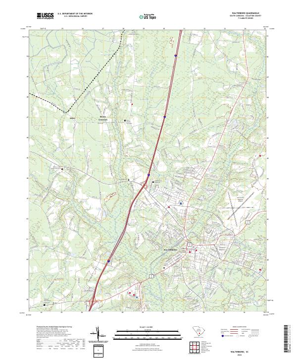
2024 Map of Walterboro
USGS Topo · Published 2024About this map
Walterboro serves as the focal point of this Colleton County survey, situated at the confluence of several regional waterways and roads. The town's historic core is anchored by the Colleton County Courthouse, with the landscape to the north and west opening into significant wetlands and water bodies such as Big Bay and the meandering Ashepoo River. Smaller settlements like Stokes and Rhodes Crossroads punctuate the rural sections, where a high density of graveyards, including Zion Church Graveyard and the Evergreen Cem, provide valuable points of interest for genealogists tracing local families.
Find a feature on this map
213 named features on this map. Tap any name to fly to it.
Don’t see what you’re looking for? This feature index may not catch every label — zoom into the map to look around manually.
Map Details
Editions of this 2024 Walterboro Map
This is the sole edition of this map. No revisions or reprints were ever made.
Other maps of this area

1918 · Walterboro
USGS Topo · 1:62,500

1919 · Cummings
USGS Topo · 1:62,500

1919 · Lodge
USGS Topo · 1:62,500

1920 · Lodge
USGS Topo · 1:48,000

1920 · St. George
USGS Topo · 1:48,000

1921 · Lodge
USGS Topo · 1:62,500

1921 · St. George
USGS Topo · 1:62,500

1943 · Lodge
USGS Topo · 1:62,500

1943 · Orangeburg
USGS Topo · 1:125,000

1943 · Cummings
USGS Topo · 1:62,500